


More of Don's
photo series.
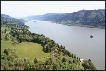
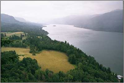
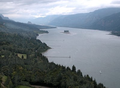
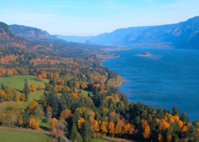
The view from Cape Horn.
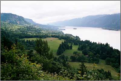
Cape Horn is a viewpoint on the Lewis and Clark Trail Highway; it is almost directly across the Columbia from Multnomah Falls. Following are some photos taken at various times of the year (more to come).
In the lower photo, Beacon Rock is clearly visible in the upper left-hand quadrant, and a sailboat is moored in the lower right-hand quadrant.
Cape Horn was first photographed in 1867 by Carleton Watkins, foremost photographer of the Pacific Coast area in his time.
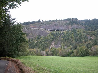
I'm not at the exact spot where Carleton Watkins stood, I don't imagine, but somewhere close. My guess is that water covered the area where trees and meadow are now (there were no dams then), and that the cliff in Watkins' photo is the same one you see here. The photos at the top of the page were taken from just to the left of the bridge up there, at the top of and behind the retaining wall.
Previous Index Next